Customize backgrounds on maps in Insights
When you create a map visual in Insights, you can change the background, or base, of the map. A base map is the style of map that appears beneath your data on a map.
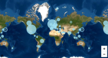
EXAMPLE A satellite view versus a street view.
Prerequisites
-
You have the Insights Author license.
- You have created a map.
Page location
Insights > Analyses > Click an analysis > Click a map
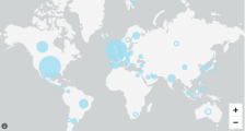
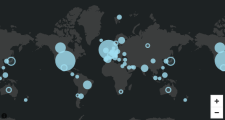
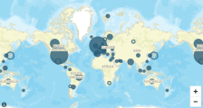
In Insights, there are four options for base maps: light gray canvas, dark gray canvas, streets, and imagery. An example of each appears following:
Procedure
Change a base map
- Click the Format visual icon in the upper-right corner of the map. The Properties panel opens.
- Expand Base map.
- Select a base map style.
Related topics


